The Land
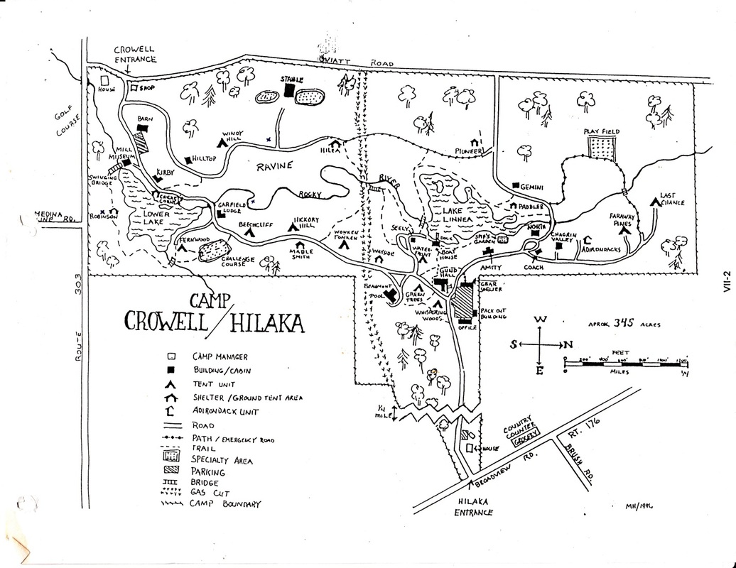
Crowell Hilaka is a series of creek valleys. A dozen or so small, spring-fed streams flow into the unnamed central creek that runs the length of the property. In the north, the land is mostly flat or gently sloped, punctuated by a few ravines. South of Lake Linnea ( the upper lake) is a wide valley that becomes deeper and broader as it follows the creek downstream. Much of the land was farmed once upon a time, but some of it was too steep to ever plow.
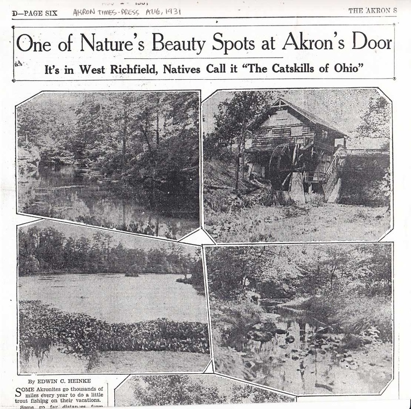
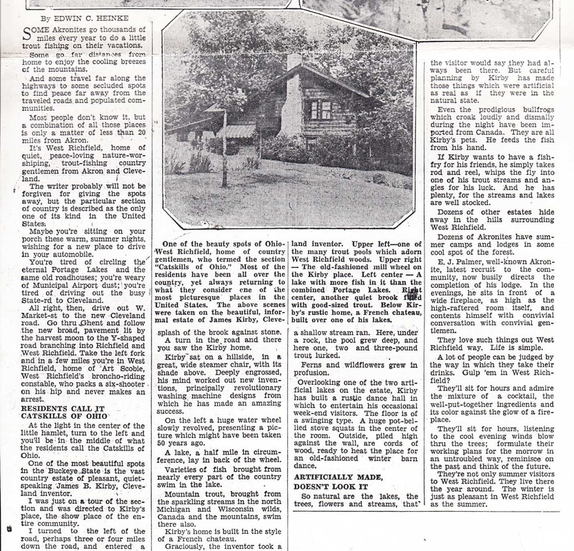
The two lakes are man made - both by inventor Jim Kirby. When Kirby dammed up the creek for his hydroelectric mill in 1919, he found remnants of the Oviatt 1834 sawmill. In 1924, he created the upper lake to stock with larger fish.
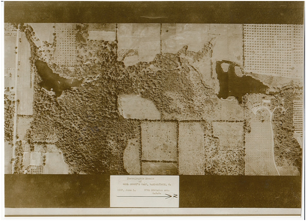
This 1937 aerial photograph shows the dense woods in the south and a broad band of forest re-growth extending up the main valley toward Lake Linnea. The land south of the Lake Linnea islands has been a camp since this photo was taken. Twenty years later, the land north of the islands was added to the camp, and the numerous orchards in the photo were allowed to revert to nature.


